analytics & monitoring
analytics & monitoring
A profound knowledge of a water body is essential for an ecological assessment. Only a deep understanding of the interactions of environmental factors and biocoenoses enables the preparation of deficit analyses and the development of concepts for improving the ecological status of water bodies. Therefore, a detailed investigation of the aquatic life and the most important impact factors is at the beginning of a limnological analysis.
Hydro-morphometry
since 2004 Bathymetric surveys of storage reservoirs
In reservoirs, which are sometimes subject to heavy sedimentation, the knowledge of the current basin morphology is important in order to be able to plan appropriate measures (e.g. reservoir purging) in a forward-looking manner. Also when renovating the dam, which requires a lowering of the water level, morphological conditions must be taken into account in order to safeguard protected goods (for example, ensuring fish retreats, protection of valuable aquatic and reed areas). With the help of digital water models or depth zoning isolines, simulations for different water levels can be made, which can display the effects of the water level subsidence on the water surface and the bank sections.
since 2004 Morphological surveys of groundwater lakes
The morphometric boundary conditions of a water body (area, bank inclination, mean and maximum depth, volume, area-depth relation, ground structure of the water body, water-soil relation, etc.) are key components for an ecosystem and it’s internal ecological processes. The aqcuisition of morphometric data of the water body is therefore necessary in order to interpret a given aquatic ecological situation. If, beyond that, a restoration concept is to be developed, bathymetric basic information is indispensable.
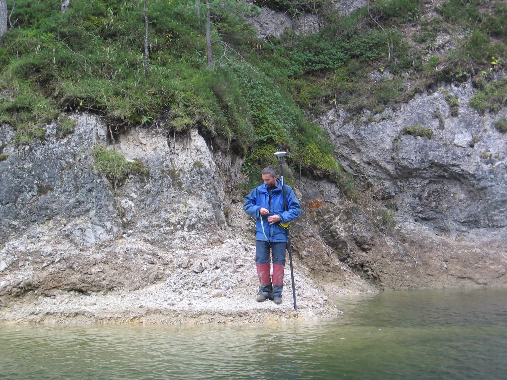
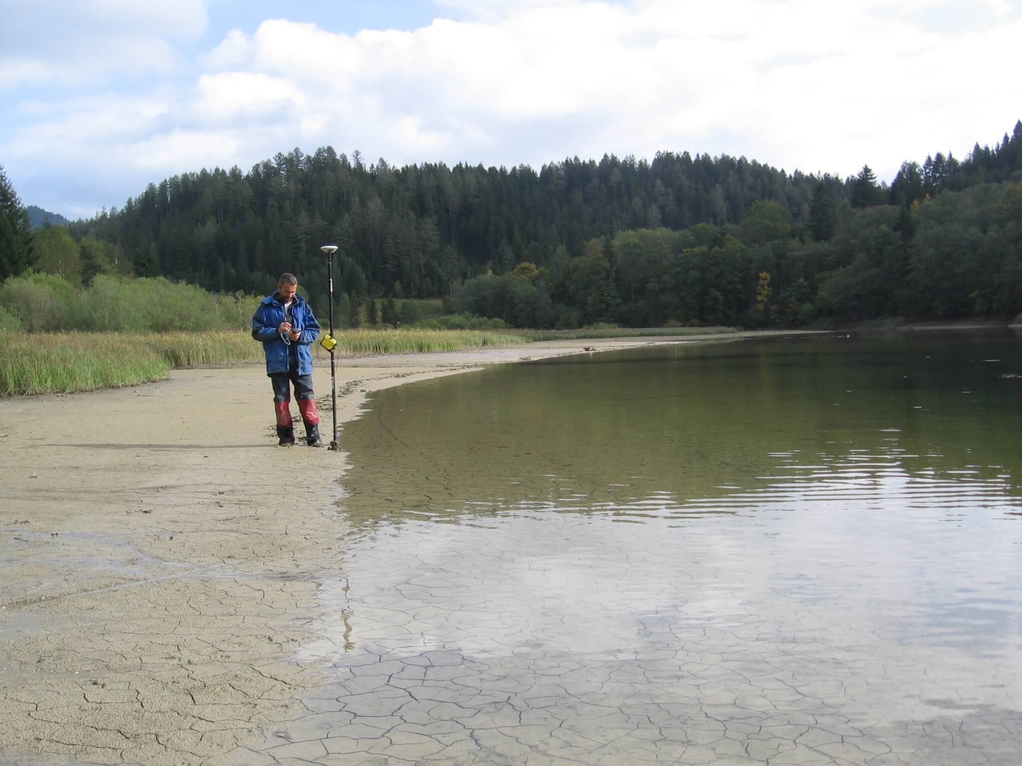
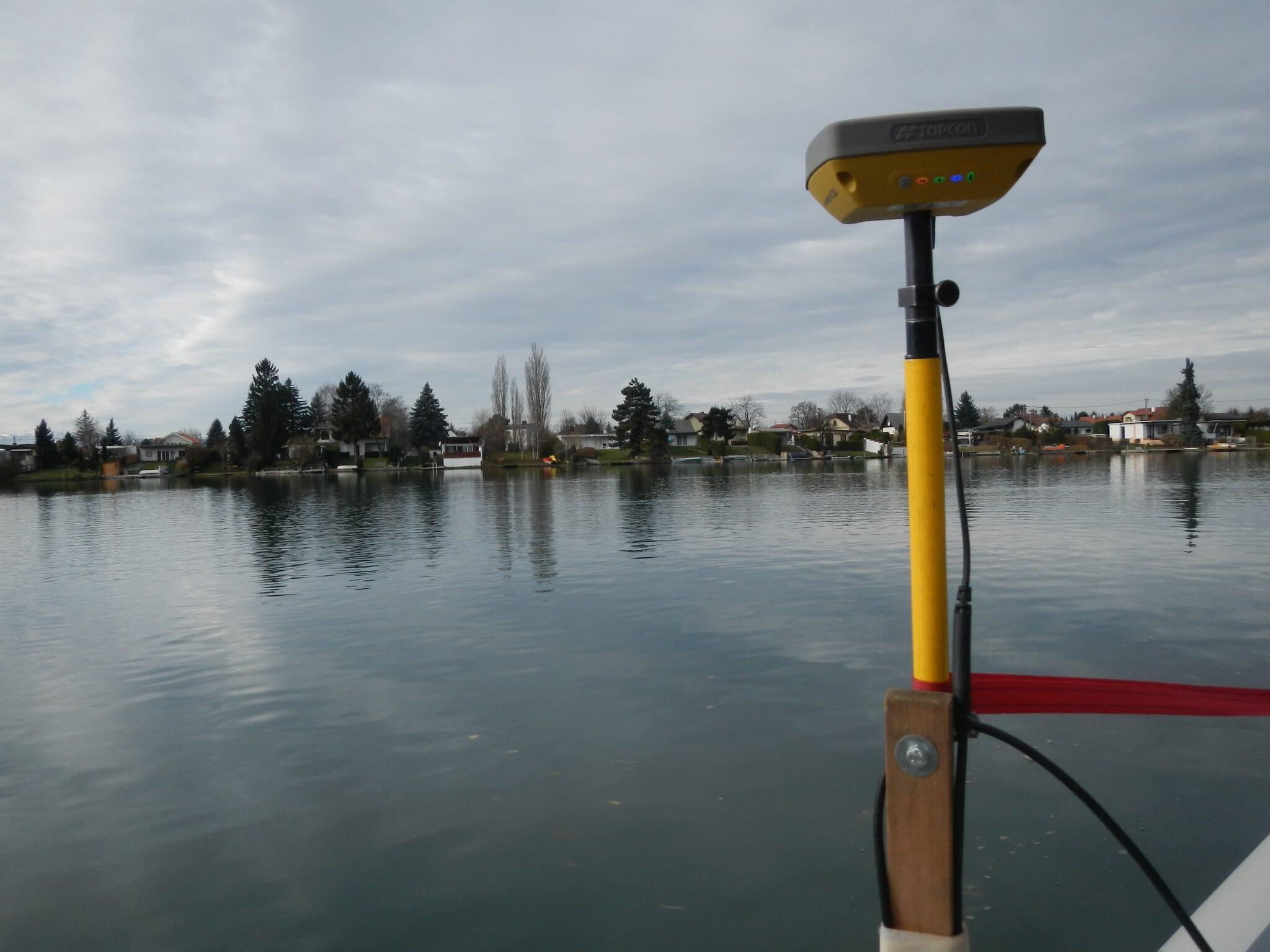
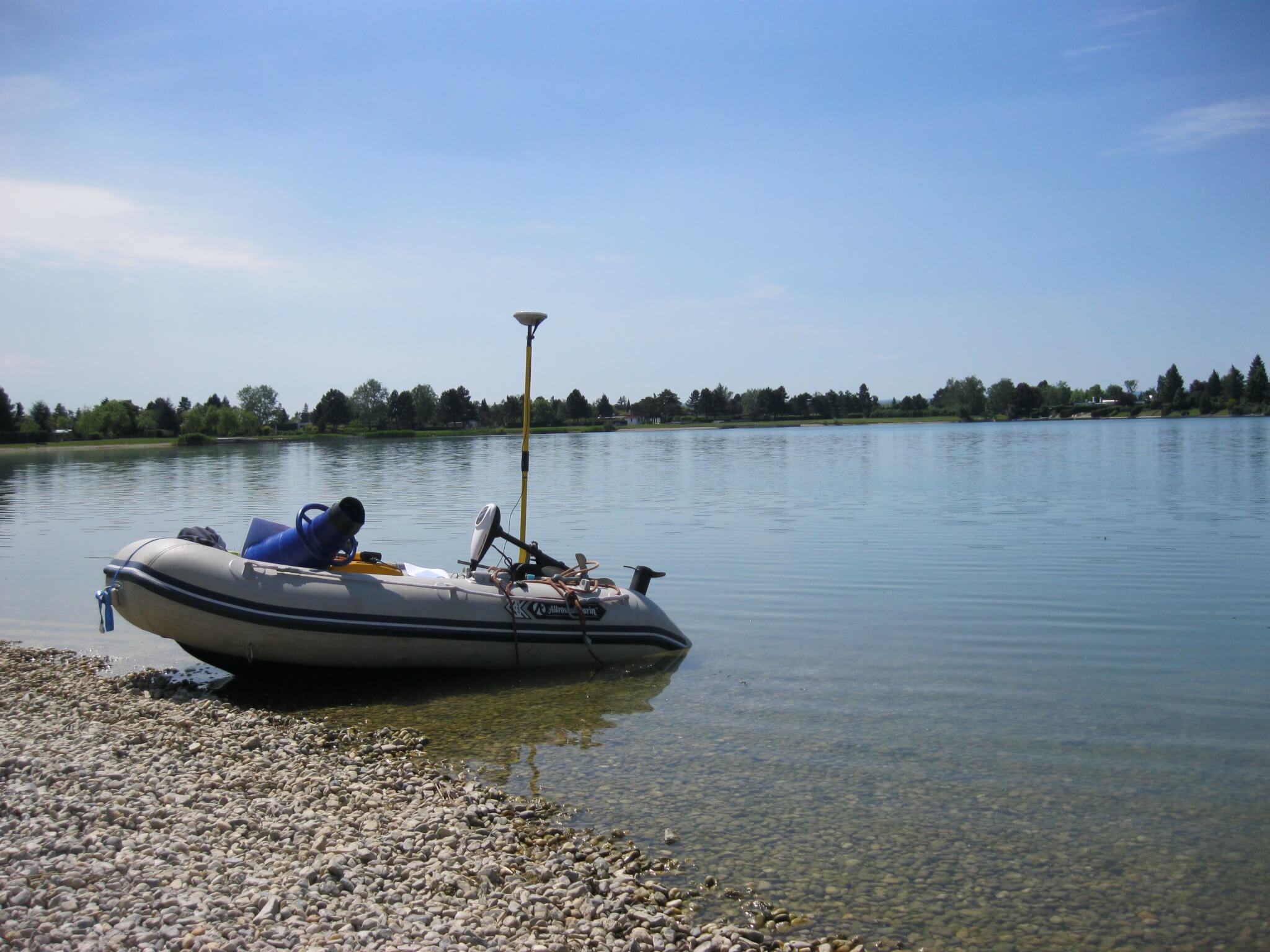
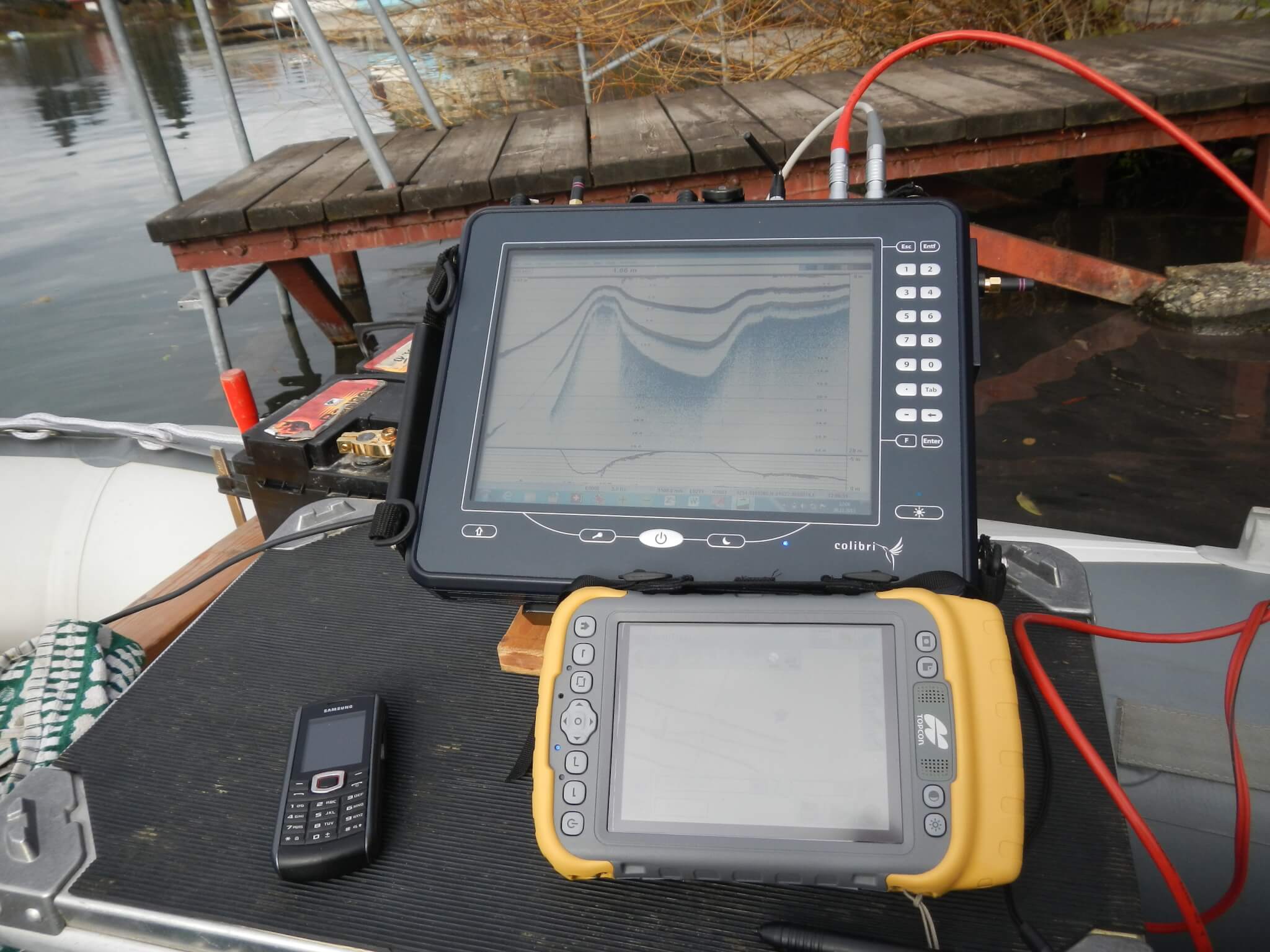
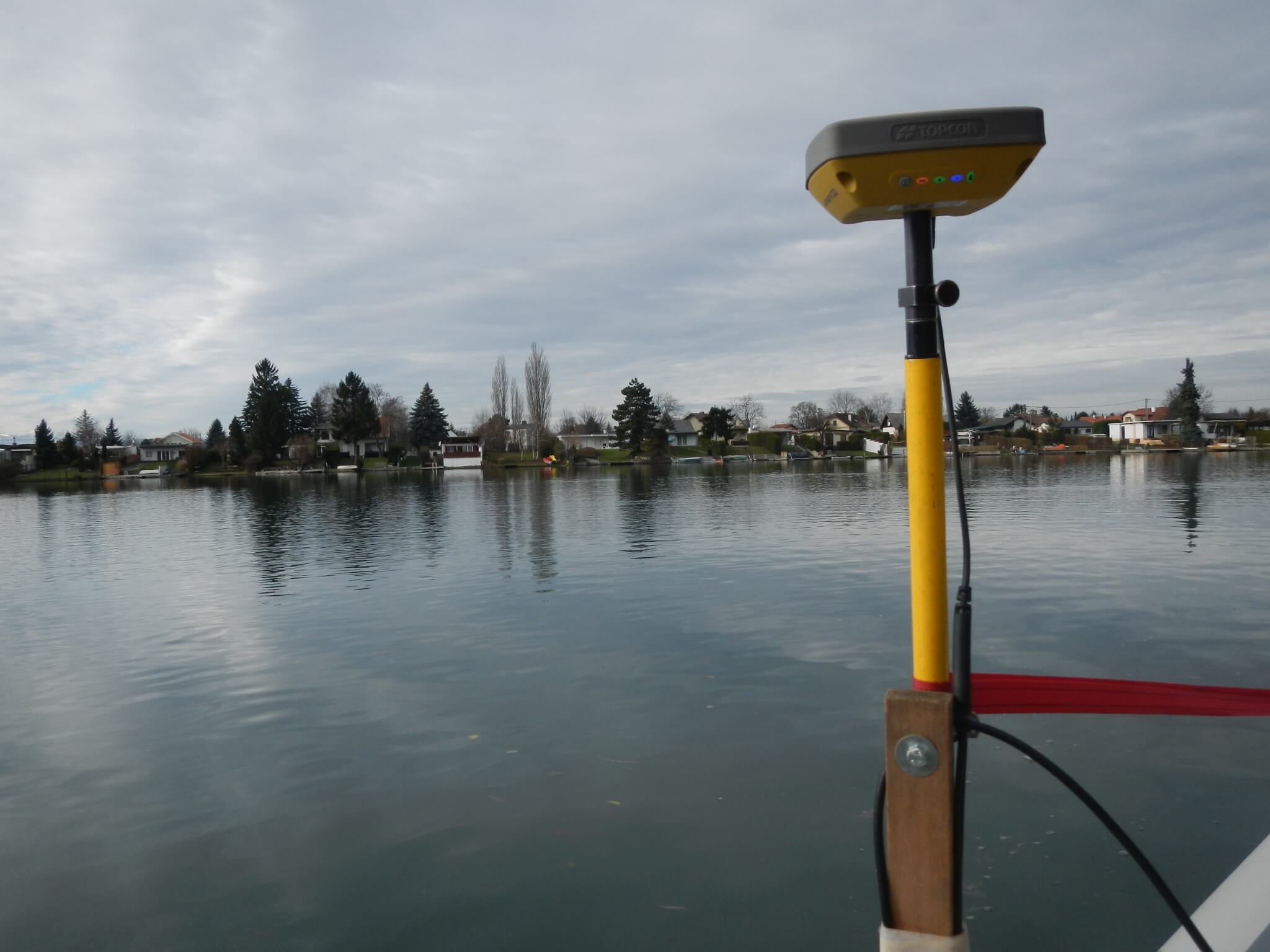
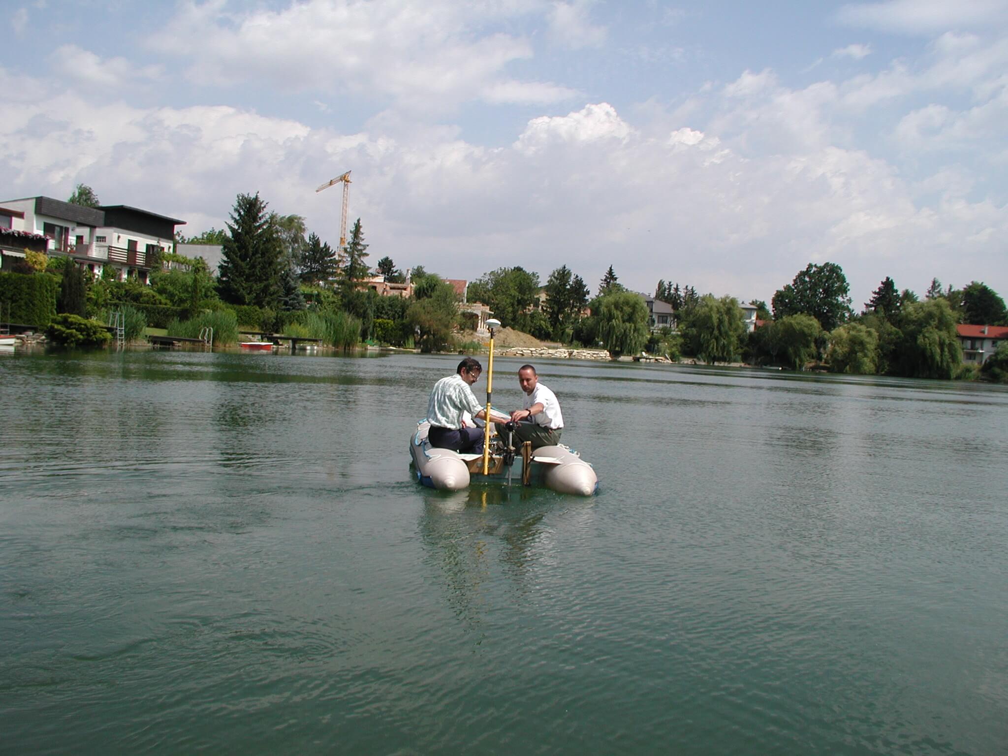
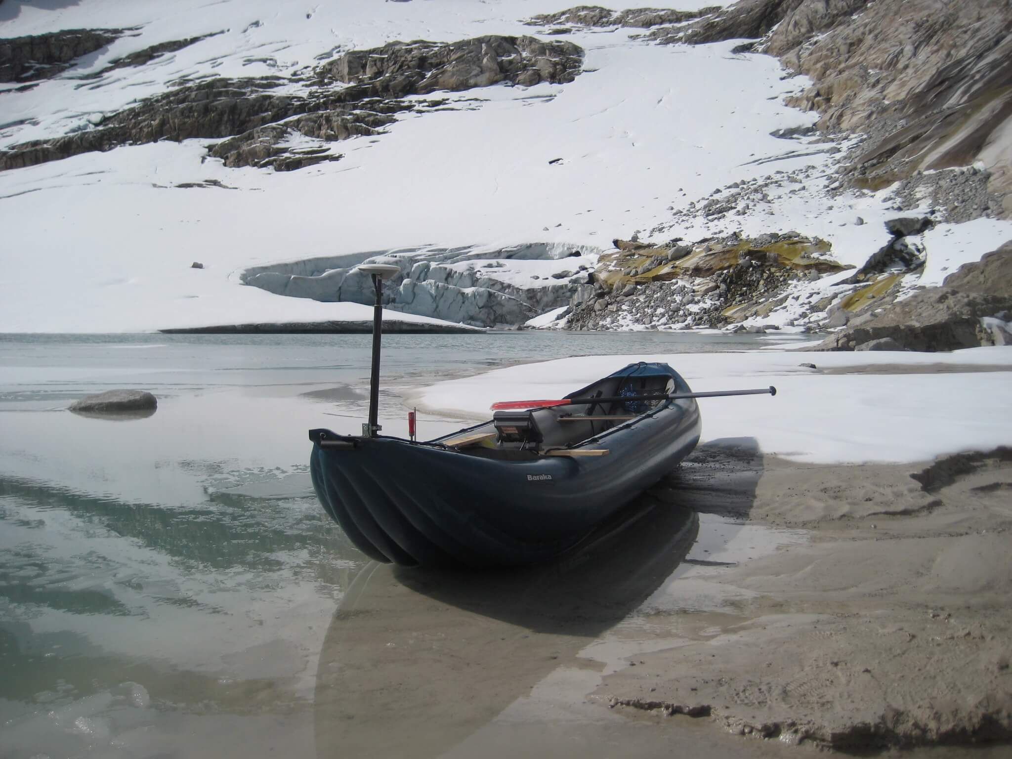
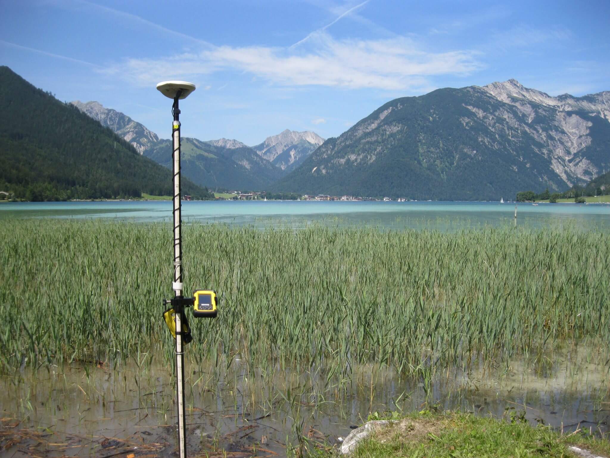
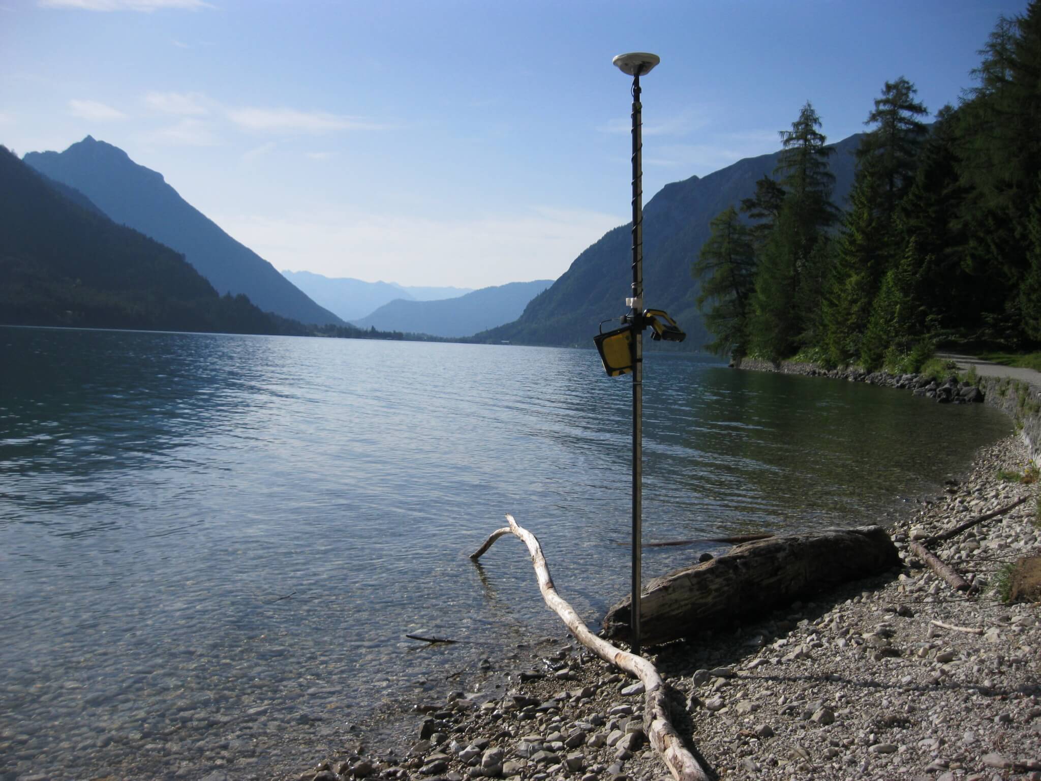
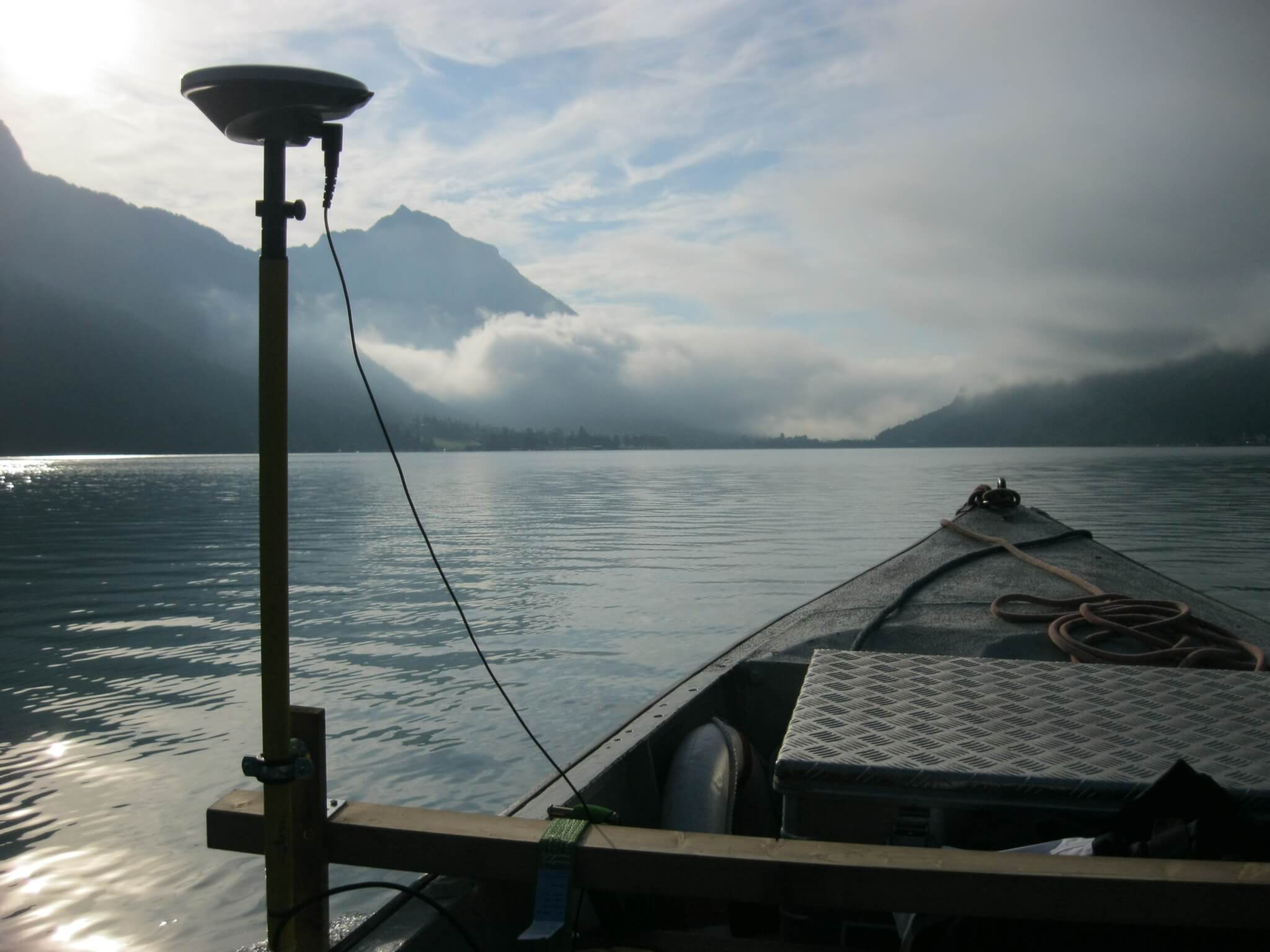
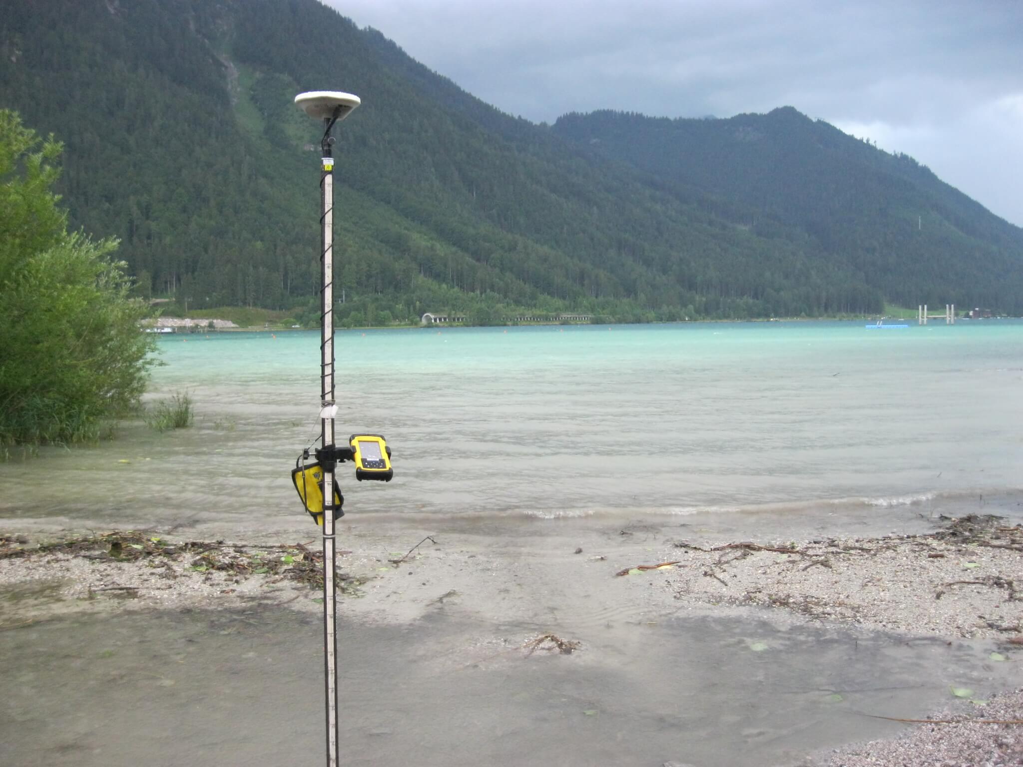
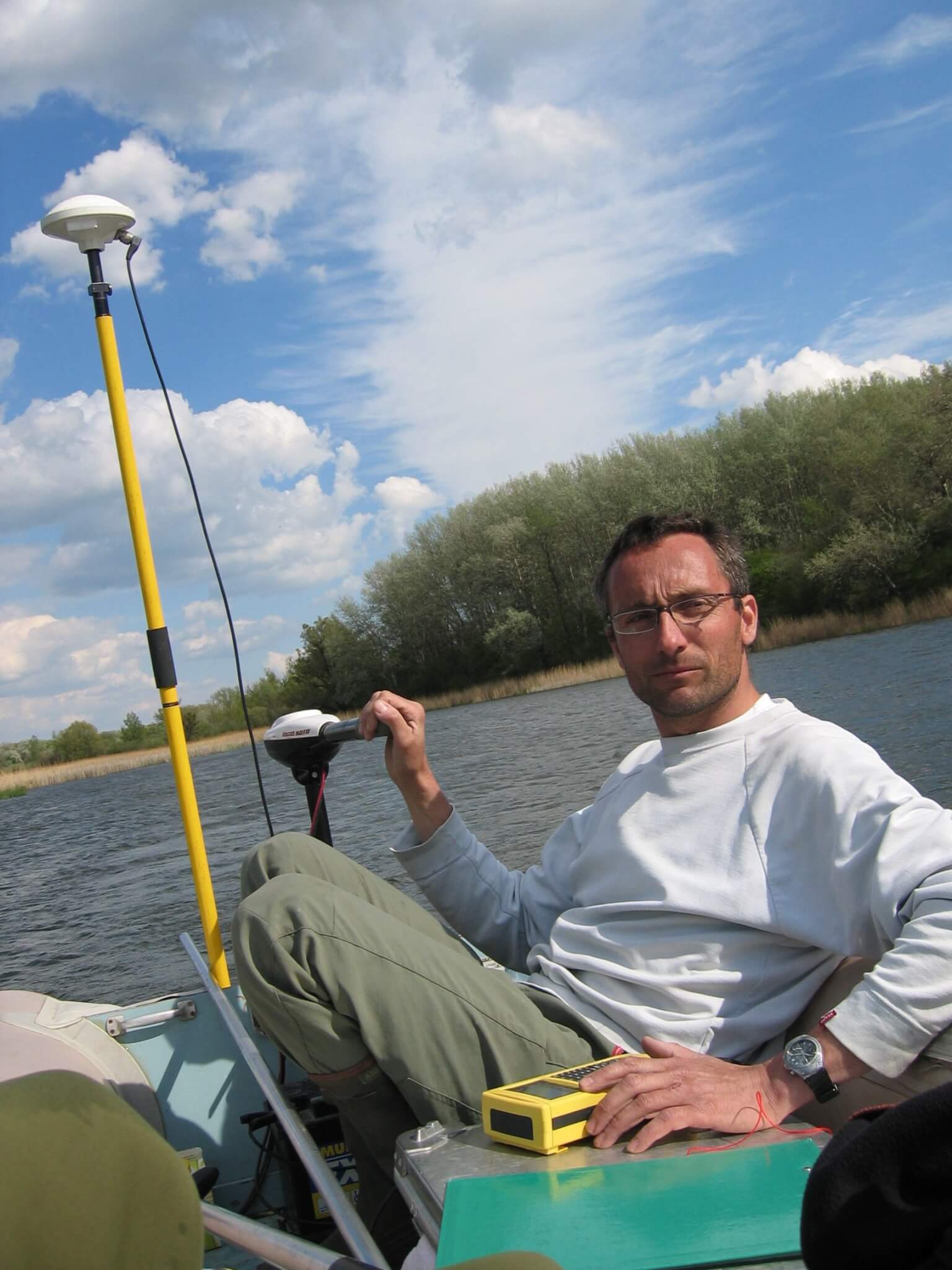
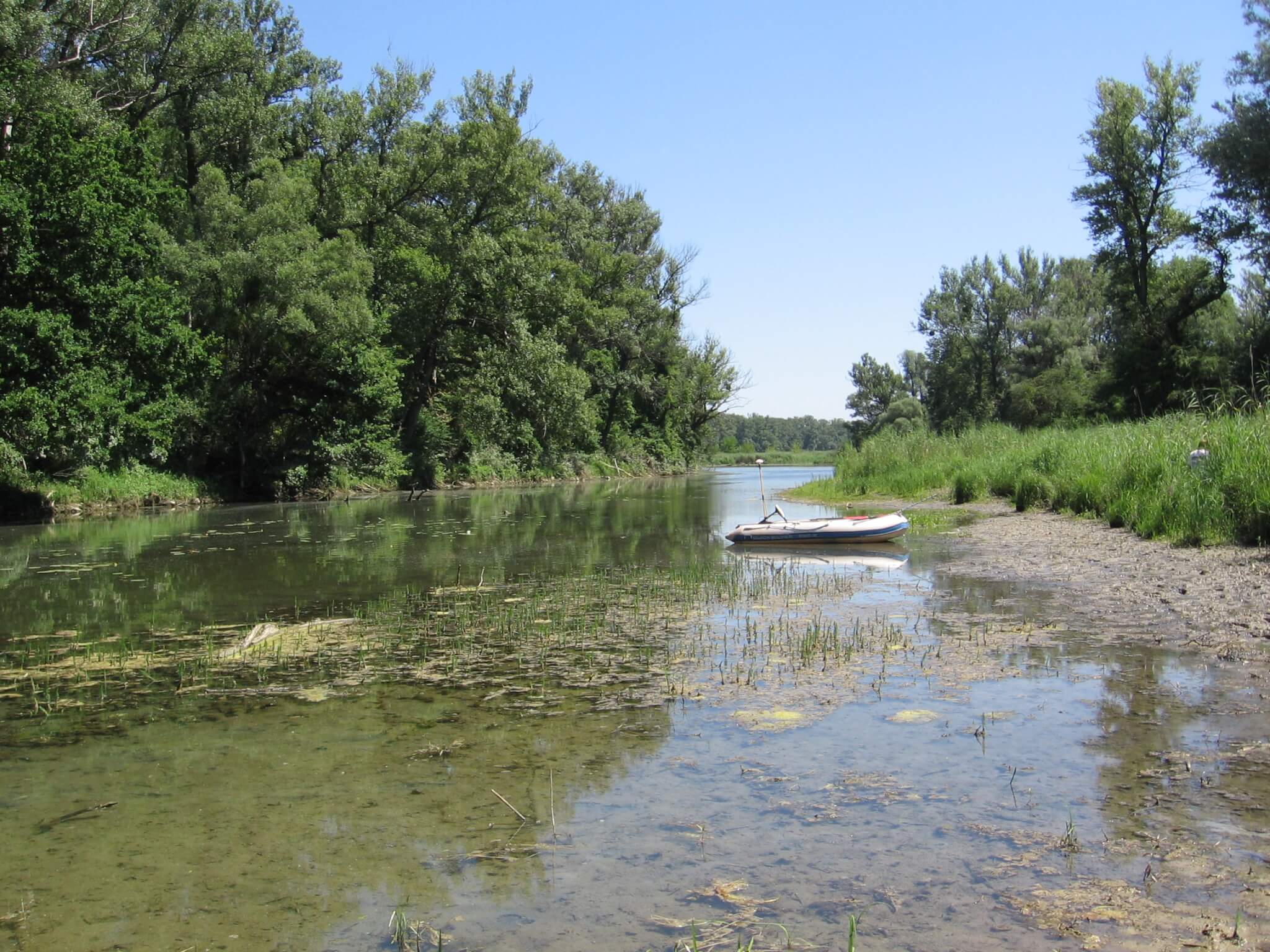
To record the water morphometry, a combination of rtkGPS and echo sounder is used. The position information (XY coordinates) are stored by the GPS with the depth (Z coordinate) acquired simultaneously via the depth sounder. In addition to the survey of the water depths, an exact determination of the water riparian lines at the time of the survey is carried out. The stored XYZ coordinates and echograms serve to create a digital terrain model (DTM) of the examined water body.

2016 and 2018 Bathymetric surveys of sailboat marinas at Lake Neusiedl
In sailboat marinas of the Lake Neusiedl, surveys of the fine sediment layer were carried out in 2016 and 2018. The thickness of the mud pads was either determined along profiles or larger areas (up to around 9000 m2) were recorded, which then served as the basis for a digital terrain model. The measurements were carried out primarily by means of RTK-GPS and echo sounder. In addition, the water depth as well as the total depth (reaching to solid ground) was measured by benchmark at selected points. The position and altitude information was collected via of RTK-GNSS.
Client: pan.real Immobilienbeteiligungs GmbH


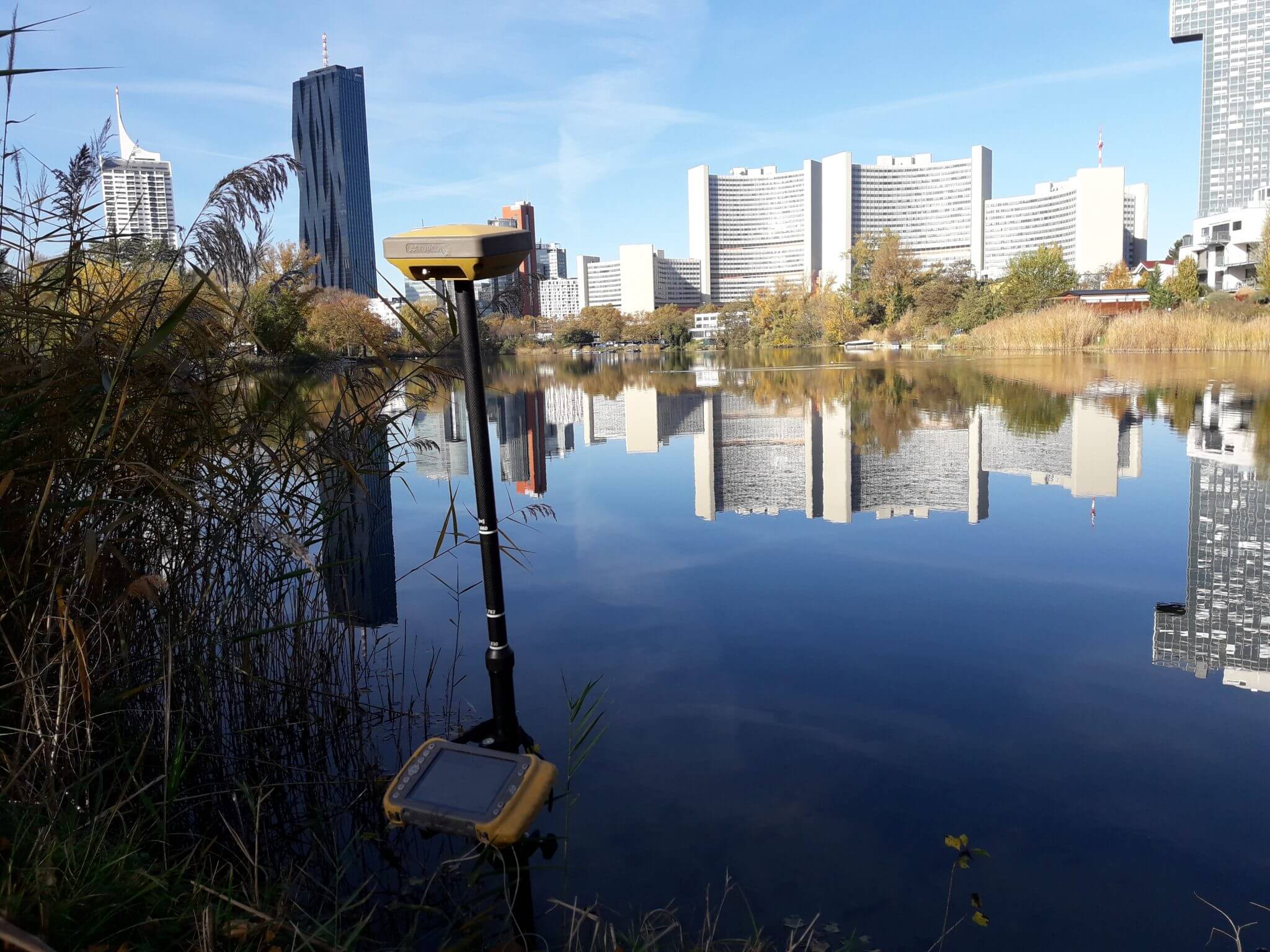
2003 and 2018 Morphological survey of Wasserpark & Kaiserwasser (Old Danube)
For the implementation of water management measures in 2003, the Wasserpark (future management) and 2018 the Kaiserwasser (dredging in the gutter) were surveyed and the thickness of their sediment layer was recorded.
Client: MA45- Wiener Gewässer

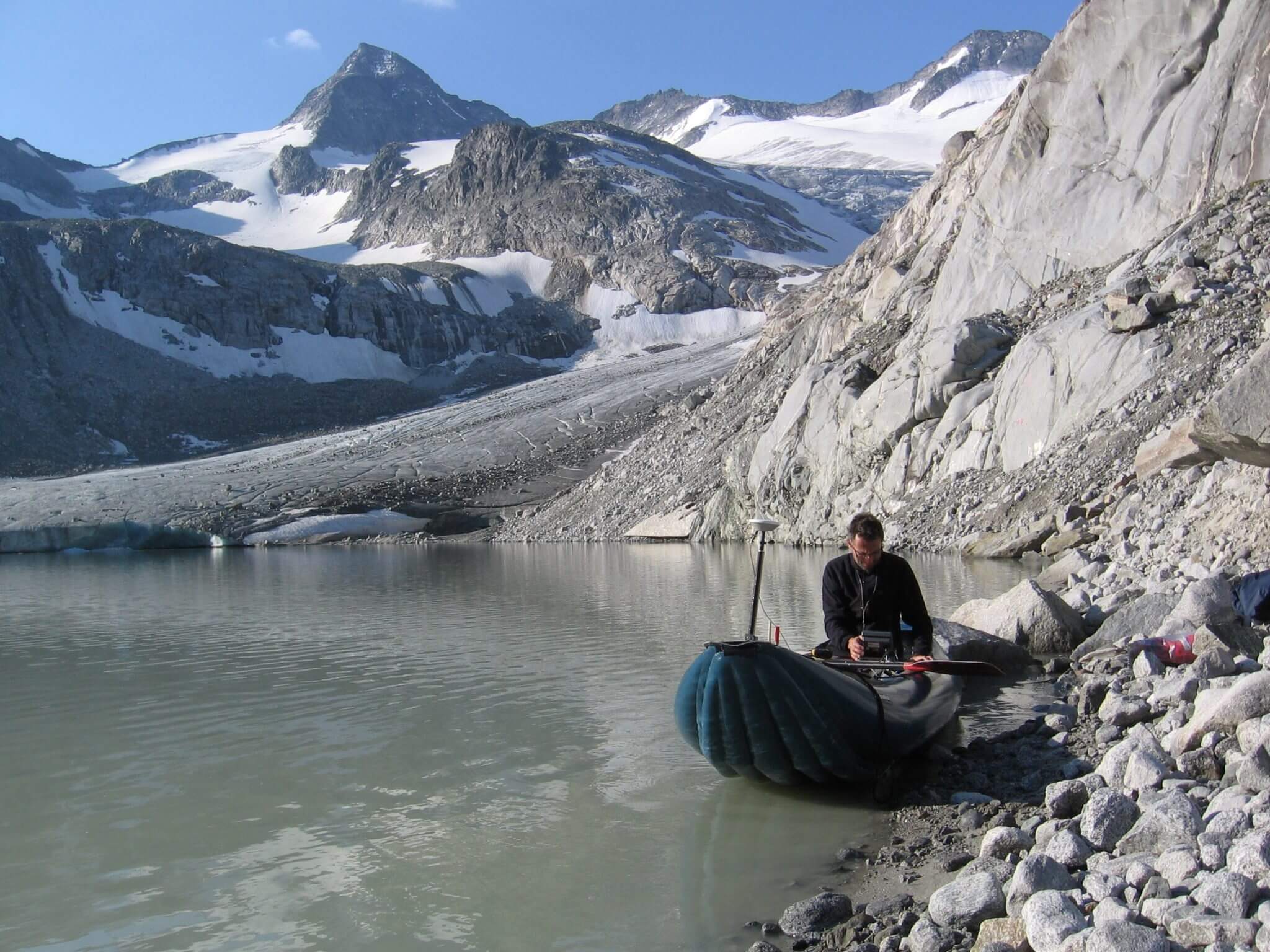
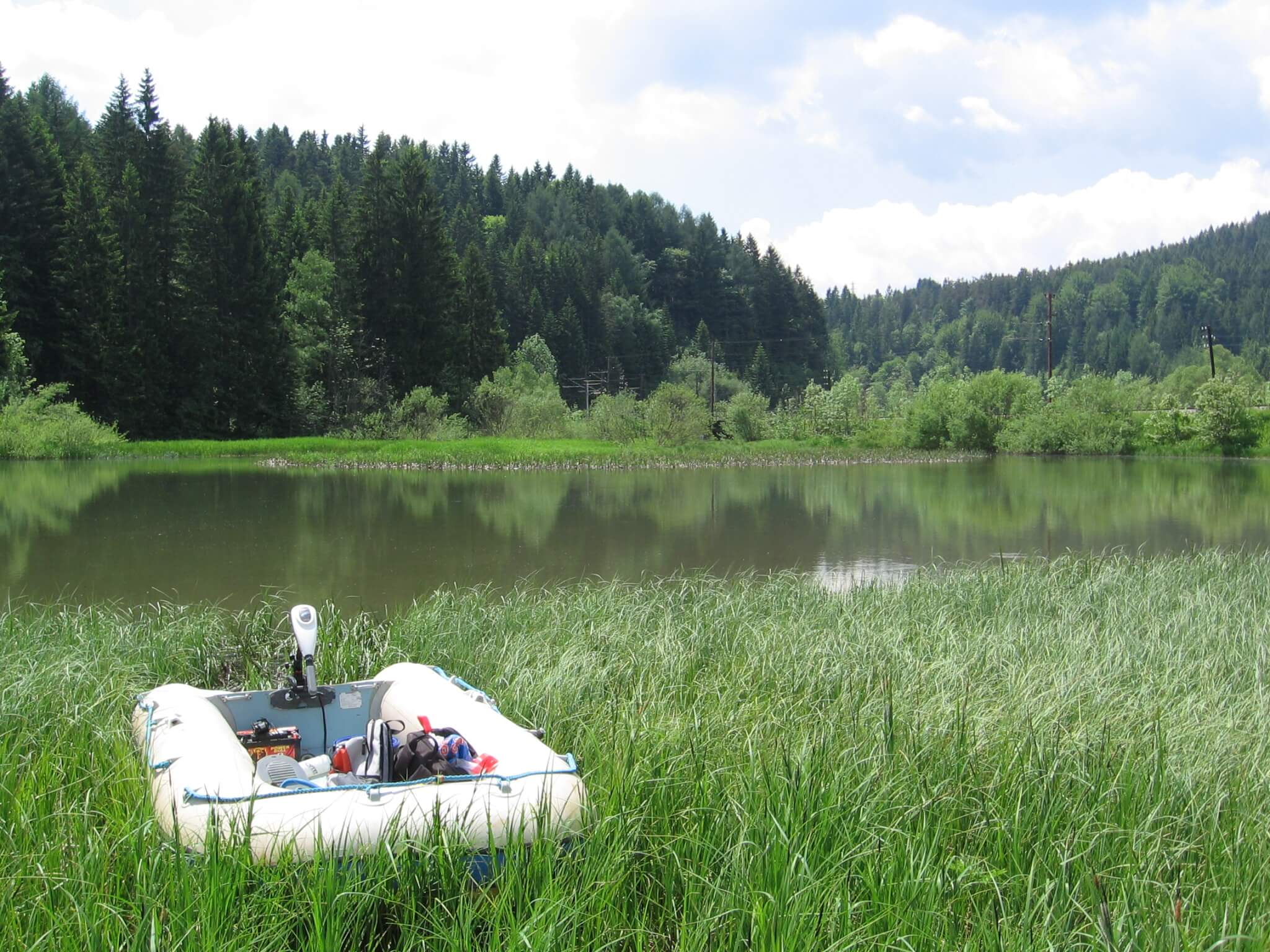
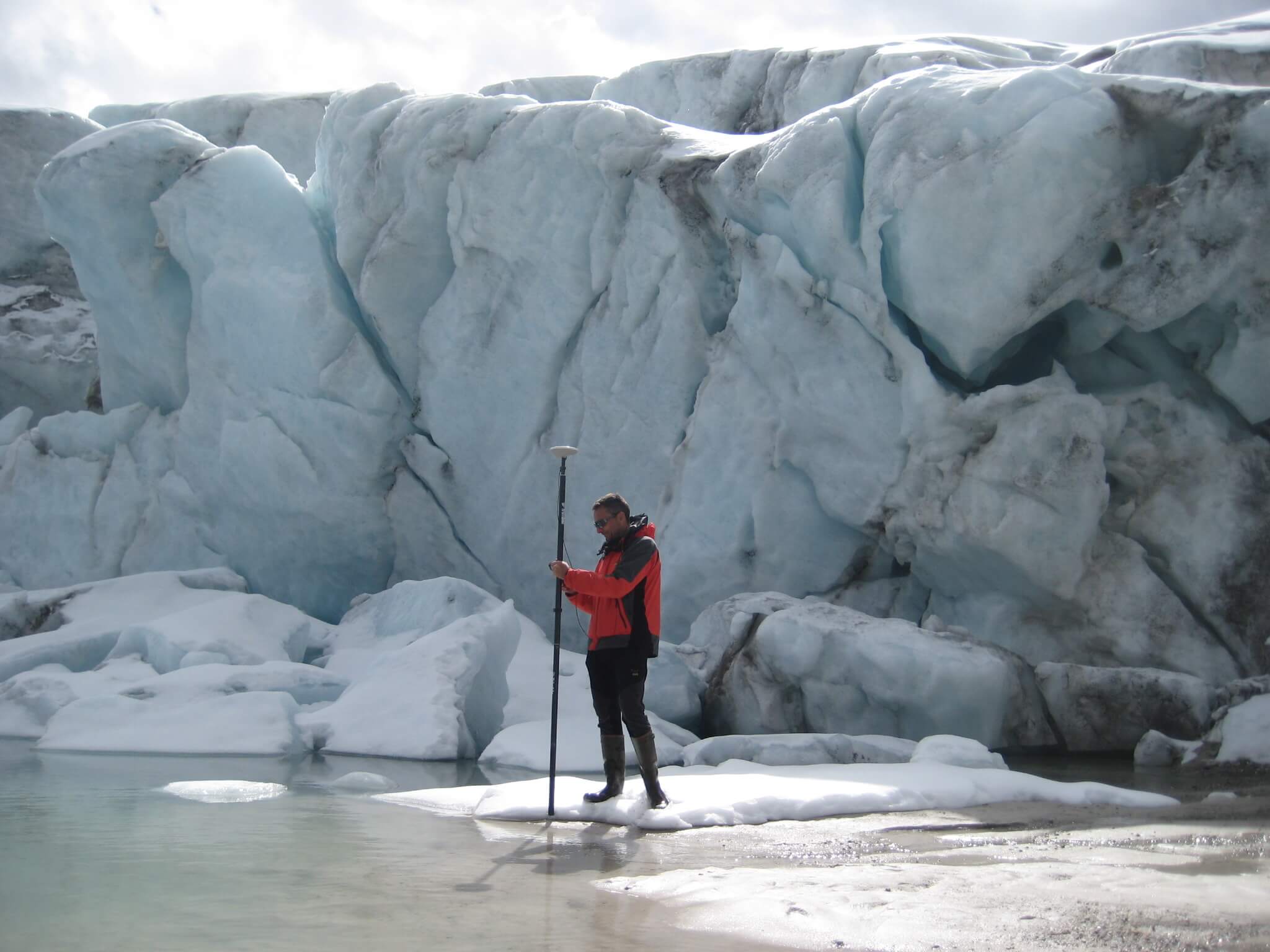
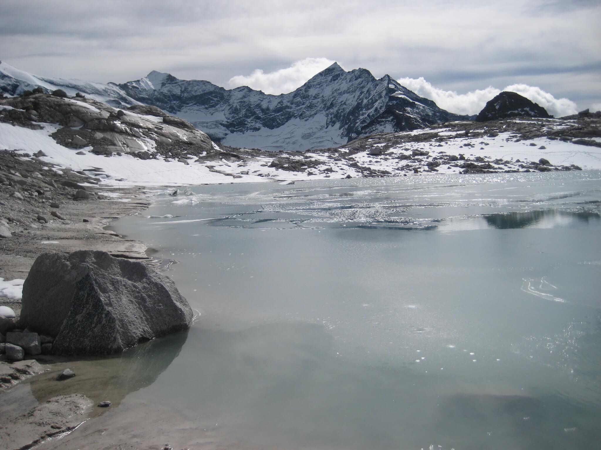
2009, 2010 and 2016 Surveying of glacial lakes
General glacier retreat in high alpine areas in recent years causes increased occurrences of partially temporary lakes in the glacier margins. Accordingly, the Untere Eisboden See, which today lies on the edge of the glacier, and the nearby Keessee, which has already completely lost contact to the glacier, were created at Stubacher Sonnblick. The Morphometry of the Untere Eisboden See was surveyed in 2010 and again in 2016, in order to document the rapid development of this water body.
The glacial lake in Obersulzbachtal was the subject of the project “Sediment budget for two glacier forefields (Pasterze & Obersulzbachkees, Upper Tauern, Austria) – Quantification and temporal variability”. The University of Salzburg undertook a survey of sediment landings by means of georadar. In order to validate and ensure the obtained results, the DWS Hydro-Ecology carried out a survey of the lake with echosounder and dGPS in summer 2009.
Client: Hydrographischer Dienst, Federal State Salzburg

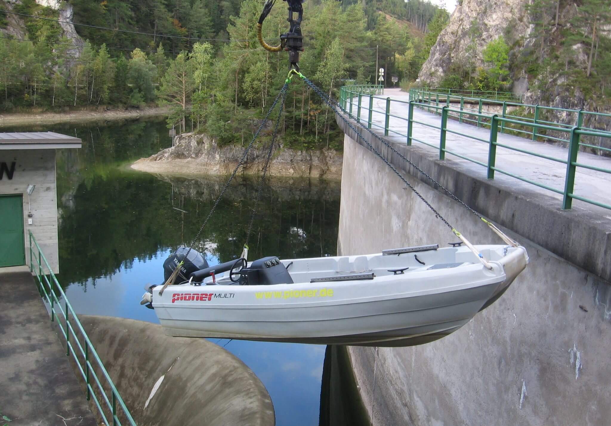
2012 Bathymetric survey of Achensee
For the Achensee, which has been economically used for energy since 1927, two historic surveys (1922 Geistbeck and 1935 Prof. Schatz) exist. Since the last investigation of the lakes morphology took place a long time ago, the client (TIWAG) commissioned a new survey with the aim to document the current conditions. The recording was undertaken by dGPS / Echolot and served – combined with a laser scan – to create a digital terrain model.
Client: TIWAG


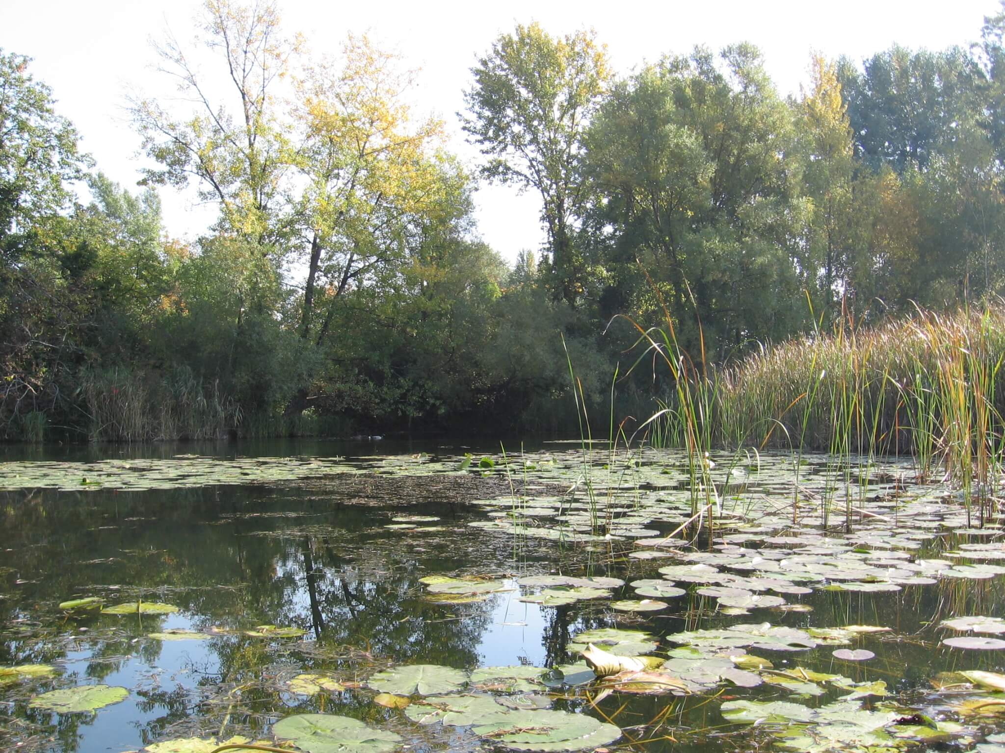
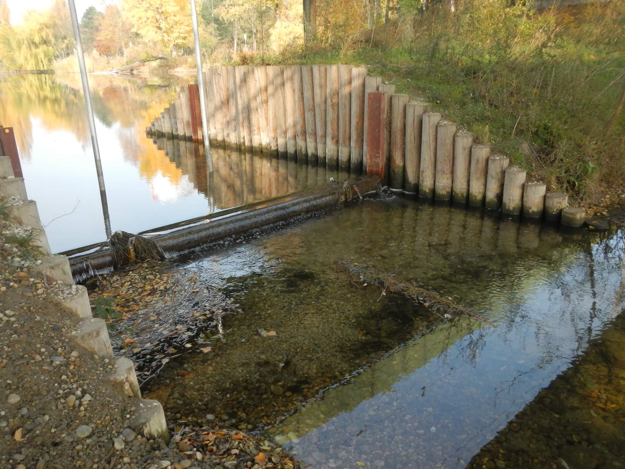
2005, 2006, 2008 and 2011 Morphology and sediment survey in the Lower Lobau
In order to plan the dotation of the Lower Lobau, the creation and a partial revision of water morphological foundations were necessary. A survey of the water depths in the open water and in the reed belt as well as the mapping of the reed girdle (facing the waterside) via dGPS or echosounder were accomplished. In addition, the height of the fine sediment layer was determined in selected side arms.
Client: MA45- Wiener Gewässer

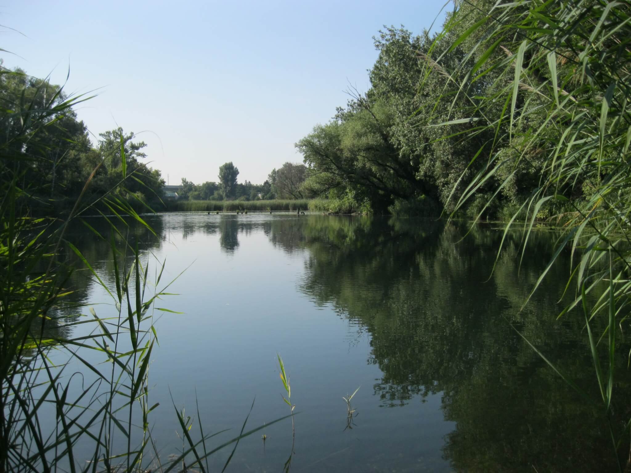
2007 Mühlwasser – Upper Lobau surveys of morphometry and sediment
In 2007, the Upper Mühlwasser had strong sedimentation and silting tendencies between the confluence of Hebergraben and Kaisermühlenstraße. Shallow water depths and proliferation of reeds were the reasons for complaints from local residents. By means of basin morphology records and sediment investigations as well as surveys of reedbed areas, a suitable data basis should be created in order to subsequently be able to set targeted management measures (reed and removal, etc.).
Client: MA45 – Wiener Gewässer